
Daphne Neighbors Block Sources
The immediate block around a Daphne address can be studied through official land and notice records. Baldwin County GIS supplies the parcel layout. The Revenue Commission connects each selected parcel to its assessed owner and tax-mailing destination. Planning packets may hold an adjacent-owner list for a specific public hearing, while permits and plats describe work or subdivision context. Voter and association records have much narrower access.
| Source | What It Shows About a Block | Access |
|---|---|---|
| County parcel viewer and appraisal | Lot pattern, parcel identifier, assessed owner, situs, and mail destination | Free online map and record search |
| Planning adjacent-owner list | Assessed owners notified for one zoning or subdivision hearing | Meeting packet or targeted city request |
| Voter extract | Selected public registration fields within ordered geography | Paid statutory order; protected entries suppressed |
| Permits and plats | Work site, project dates, lot, block, subdivision, and land layout | City request or recorded plat source |
| POA or HOA source | Public board, office, amenity, news, and document contacts | Public pages; owner or member areas often restricted |
These sources describe parcels, owners, notices, or civic roles. They do not prove every occupant. A tax roll may show an owner who lives elsewhere, and one person may own several nearby parcels. Keep one row per parcel so duplex units, condominium common areas, rights-of-way, and association land are not merged with homes.
Map Daphne Neighbors Parcel by Parcel
The verified neighbor method uses visual map browsing. The Baldwin County Revenue Commission Map Viewer allows a user to find the target area, pan or zoom, and click the parcels around it. No public radius or buffer tool was confirmed, so the sound approach is to inspect each visible adjacent parcel and carry its PIN or account into the appraisal search.
- Normalize the starting address through official postal information, but do not treat the mailing city as proof of municipal jurisdiction.
- Find the parcel on the county viewer. Note its shape, road frontage, subdivision context, and parcel identifier.
- Move clockwise around the target. Click each parcel that touches it and give every lot its own row.
- Carry each PIN or account to the appraisal detail. Record tax year, assessed owner, situs, and separate mailing destination.
- Check the legal description or plat when a condo, common parcel, right-of-way, or irregular lot makes the block unclear.
The official county GIS viewer pictured here is the visual bridge between one Daphne address and the parcels beside it.
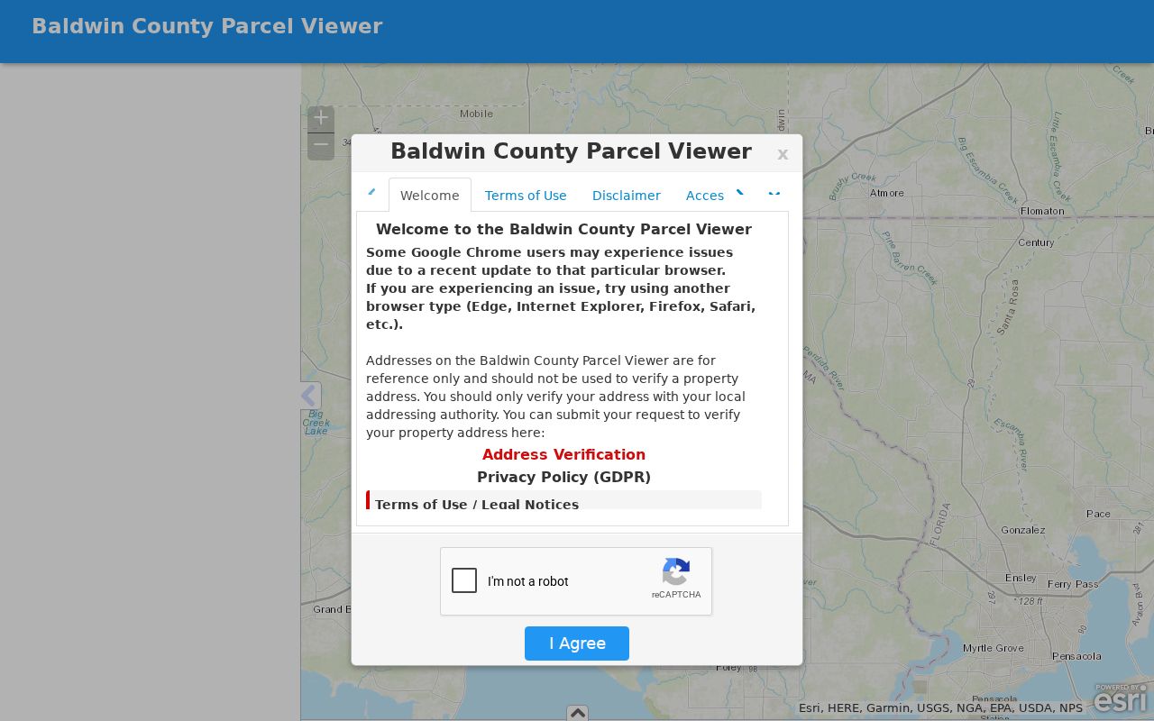
The map establishes land relationships. Appraisal details then add the assessed owner data for each selected parcel.
For a full named-road chain rather than the immediate block, use the Daphne Street Directory and its by-address workflow.
Daphne Block Owners Are Not Occupants
A parcel owner, tax-mail recipient, voter, and occupant are different identities. The property's situs address locates the land. The mailing address tells where the county sends a tax notice. Matching situs and mailing fields, along with a homestead indicator when shown, may support owner occupancy, but they cannot prove who else lives there.
- Parcel
- A mapped unit of land with a county identifier for appraisal and tax purposes.
- Situs address
- The physical location assigned to the parcel, which can differ from the owner's mailing destination.
- Plat
- A recorded map that lays out subdivision lots, blocks, streets, easements, and common areas.
- Assessed owner
- The person or entity carried on the tax roll, not a list of all people at the address.
Owners may be trusts, estates, companies, or public bodies. Inspect the deed before trying to turn an entity name into a person. A registered agent or organizer shown in a business filing serves a legal role and should not be called a resident without separate evidence.
Note: Baldwin County warns that online tax information can lag courthouse activity, so always record the displayed year before describing an owner.
Daphne Adjacent-Owner Lookup Lists
Daphne public-hearing applications require an adjacent-owner CSV or list in addition to the main application. That makes a zoning or subdivision matter an unusually direct block-level source. When the list is not in a meeting packet, submit a focused request to the Daphne City Clerk with the project address, hearing type, and likely date.
The list records assessed owners chosen under the notice rule for that project. It is not a permanent census of a Daphne block. The legal notice area may extend beyond parcels that touch the site, or omit nearby land outside the required radius. Pair every name with its listed parcel or address and the date of the hearing.
The city form asks for requester contact details, a clear records narrative, the reason for the request, and an electronic signature. Daphne states that it will respond within five business days. Published charges are $0.25 per black-and-white page, $0.34 per color page, and $25 per hour for research or reproduction. Scheduled review with the clerk is another documented channel.
Daphne Voter Records Cannot Browse Blocks
The Alabama Votes self-lookup asks for full name and date of birth. It is meant to confirm a voter's own status and polling details, not to reveal a Daphne block. Trying guessed names is both unreliable and outside the tool's intended use.
A geographic voter extract is a separate statutory product. The order form allows county, city, or district choices and selected fields, including full name, registration status, residence or mailing address, and district assignments. Electronic lists cost $0.01 per voter; printed lists cost $1 per page. Alabama does not register by political party, and participation fields never show ballot choices.
Specified officials and domestic-violence victims can have information suppressed through state protection procedures. The Baldwin Board of Registrars operates an Eastern Shore counter at the Fairhope Satellite Courthouse, 1100 Courthouse Avenue, 251-990-4614. Its staff can explain registration records, while list orders run through the Secretary of State process.
Daphne Neighborhood Records, Not Rosters
Daphne associations publish governance and community contacts, not open household directories. Lake Forest POA provides office, amenity, and architectural contacts, while member documents and login areas remain private. TimberCreek POA has a public office at 9082 TimberCreek Boulevard, Daphne, AL 36527, but no verified public resident directory.
| Association | Public Community Layer | Resident Roster Status |
|---|---|---|
| Lake Forest POA | Office, amenities, architecture, and public documents | Member material is login-gated |
| TimberCreek POA | Public office contact | No public roster verified |
| Canterbury Place HOA | News and documents | No public roster verified |
| Canaan Place | Public board names and community facts | No member directory verified |
| Austin Park and Austin Brook POA | Governance for Austin Brook and Austin Park I and II | Owner account is login-gated |
Canaan Place describes 163 homes and two entrances. That number provides community scale, but it does not identify each household. Contact the association office or a named board role for civic questions. Use the Revenue Commission for parcel ownership and the city packet for a zoning notice.
Common myth. An HOA contact page or board list is not a directory of Daphne households, even when the organization names its officers.
Daphne Parcel Lookup Adds Permit Context
Permits answer what happened to a structure and when. Daphne Building Inspection uses contractor, permit, subdivision, lot or phase, physical work-site address, inspection type, and requested-date fields. Those records can place construction or an addition on the block, but they do not identify non-owner occupants or prove which owner lived at the site.
No public Daphne permit-history search was verified. Request historical permits, certificates, or related enforcement material from the city when the department does not publish it. Keep the permit date and project type beside the parcel row. A contractor name belongs to the work record, not to the household.
Recorded plats add the stable lot-and-block frame. They can separate a private home from a shared tract, utility strip, access parcel, or association amenity. Daphne's GIS Hub adds city zoning, council district, voter district, park, and route context where its maps publish those layers. County parcel GIS remains the ownership bridge.
Official Daphne Records Versus Inferences
Commercial neighbor tools combine public records, marketing data, and inferred links. Their entries may be old, combine namesakes, or assign relatives and addresses incorrectly. Official sources are narrower, but each has an accountable custodian and a clear field meaning. A useful block table keeps those differences visible.
| Source Type | Best Use | Main Limit |
|---|---|---|
| County GIS and appraisal | Map parcels and identify assessed owners | Does not list all occupants |
| City hearing or permit file | Document notice recipients or work at a site | Tied to one case, date, or project |
| Association public page | Find civic and governance contacts | Member data is not public |
| Commercial compiled profile | Possible lead for further checking | May be stale, merged, or inferred |
For a parcel error, contact the Revenue Commission. For a planning notice, ask Daphne Community Development or the City Clerk. Correcting the custodian's record is more useful than repeating a disputed directory entry.
Daphne Address Records Cross Postal Lines
A “Daphne, AL” postal line does not prove that each parcel sits within Daphne city limits. Postal routing, annexation, subdivision plats, city boundaries, and county parcels are separate geographies. ZIP 36527 also serves north Daphne and parts of Spanish Fort. Start with USPS only to normalize the mailing address, then use county and city maps to establish jurisdiction.
This affects which office can answer a block question. A county-only parcel may have appraisal, deed, plat, and voter-district records but no Daphne permit or zoning case. Annexed land can retain older postal wording. Do not infer the same government layer for every nearby lot merely because the street name and ZIP match.
Daphne's growth also pushes its municipal and planning geography eastward. Envision Daphne 2042 was adopted by the Planning Commission in March 2024 and ratified in May 2024. Current jurisdiction should therefore be checked from the map and the relevant ordinance, not assumed from an old directory or postal label.
Privacy Limits for Daphne Neighbors
No public source reliably identifies every renter, child, roommate, guest, or informal household member on a Daphne block. Utility-customer and delivery data are not public directories. DMV personal data is restricted by federal law. Protected voter addresses, sealed cases, juvenile files, restricted vital certificates, and private association accounts stay outside a lawful neighbor search.
Negative findings are meaningful. Daphne has no verified public renter roll, utility-customer list, code-case portal, full permit-history search, or open HOA member roster. State the gap. Do not fill it with guesses, social links, or a commercial profile presented as fact.
Lawful use. Learn about a Daphne block for civic curiosity, reconnection, or personal safety. Never use parcel, voter, permit, or association clues to watch, intimidate, stalk, harass, or harm a person.
When contact is needed, use a public office or association role rather than exposing a private member. That keeps the request tied to the record's actual purpose and respects the line between a visible parcel and the people behind the door.